What Is St Barts? A Guide to the French Caribbean Island
Its French status and Swedish past, how the island is laid out, and what a trip there involves.
In this guide
St Barts, officially Saint-Barthélemy and often written St Barth or St Barths, is one of the smallest and most distinctive islands in the Caribbean. It is French, it was once Swedish, and it has built its reputation on beaches, food and privacy rather than on large resorts. Understanding what the island is, and what it is not, makes planning much easier. So what is St Barts, exactly? This guide explains each part.
What is St Barts, and where is it?
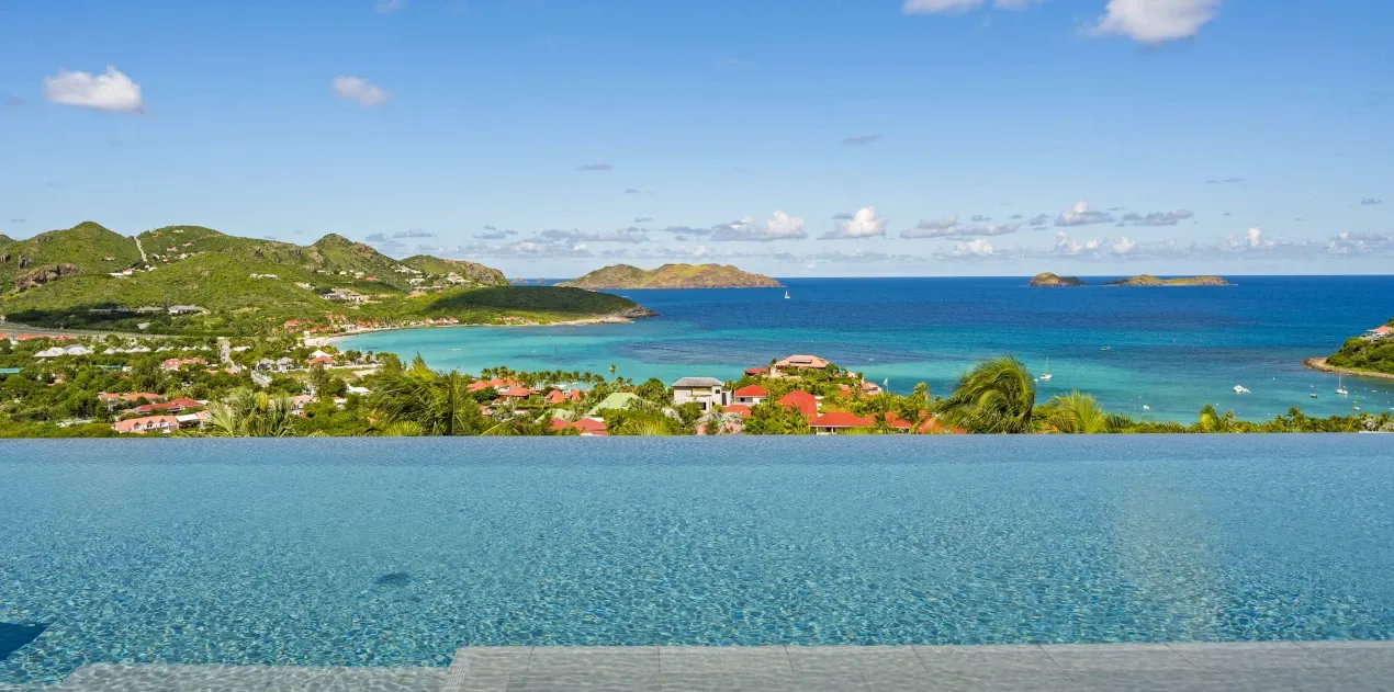
St Barts lies in the northeastern Caribbean, about 30 kilometers southeast of St Martin. It covers only about 21 square kilometers, with steep green hills, rocky headlands and a string of bays. Politically, it is a French overseas collectivity, separate from Guadeloupe since 2007. The currency is the euro, the official language is French, and English is widely spoken in tourism.
A Swedish past
France ceded the island to Sweden in 1784, and it remained Swedish until 1878. That history survives in the name of the capital, Gustavia, in some street names and in the Swedish-era buildings around the harbor.
Status and the euro
Since the 2007 reform the island has governed itself through a 19-member Conseil territorial, with a prefect representing the French state. The overseas ministry’s territory profile gives an area of 21 square kilometres, about 10,000 residents, 32 kilometres of coastline and roughly fifteen offshore islets. Since 1 January 2012 it has also been a ‘pays et territoire d’outre-mer’ outside the European Union customs area, according to the French customs service. The currency is the euro. Ask the provider for an itemized total and confirm what the quote includes. Refer questions about applicable taxes to a local professional. Entry documents differ from those for St Maarten, which our guide to getting to St Barts covers.
How the island is laid out
- Gustavia: the harbor capital, with boutiques, restaurants, yachts and the island’s busiest evenings.
- St Jean: a bay near the airport with a popular beach, shops and restaurants.
- The west: areas such as Flamands, Corossol and Colombier, with quieter bays and the island’s most secluded beach, reachable only on foot or by boat.
- The south: Gouverneur and Saline, two celebrated beaches with no development behind them.
- The east: Grand Cul-de-Sac, Pointe Milou and nearby areas, with lagoons, sea breezes and hillside villas.
Our guide to where to stay in St Barts compares the areas.
What the island is like
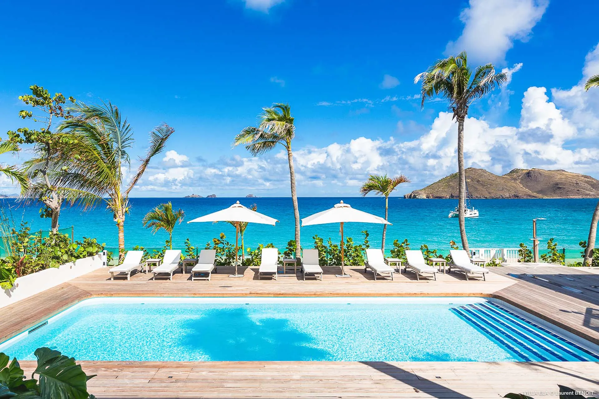
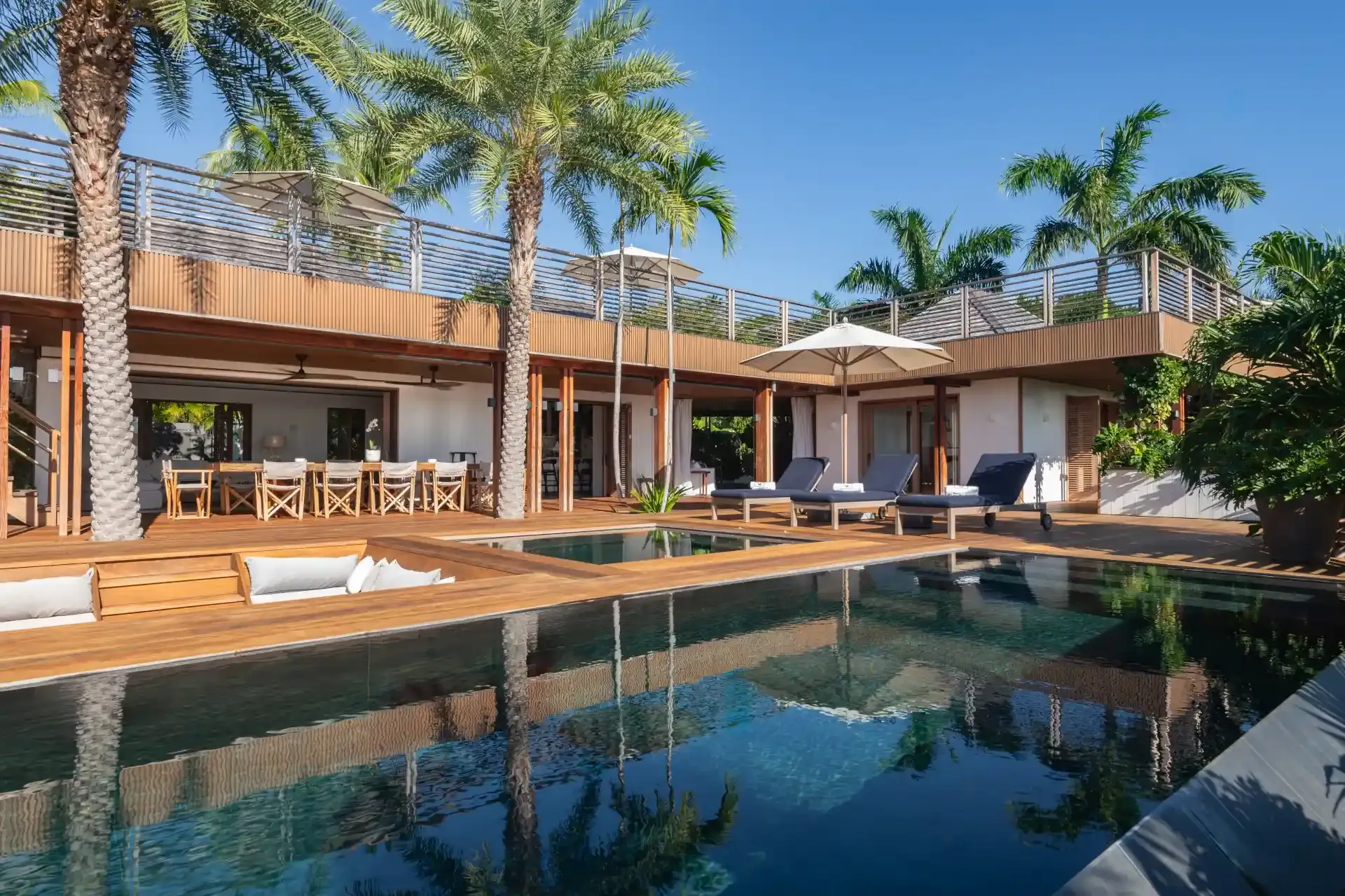
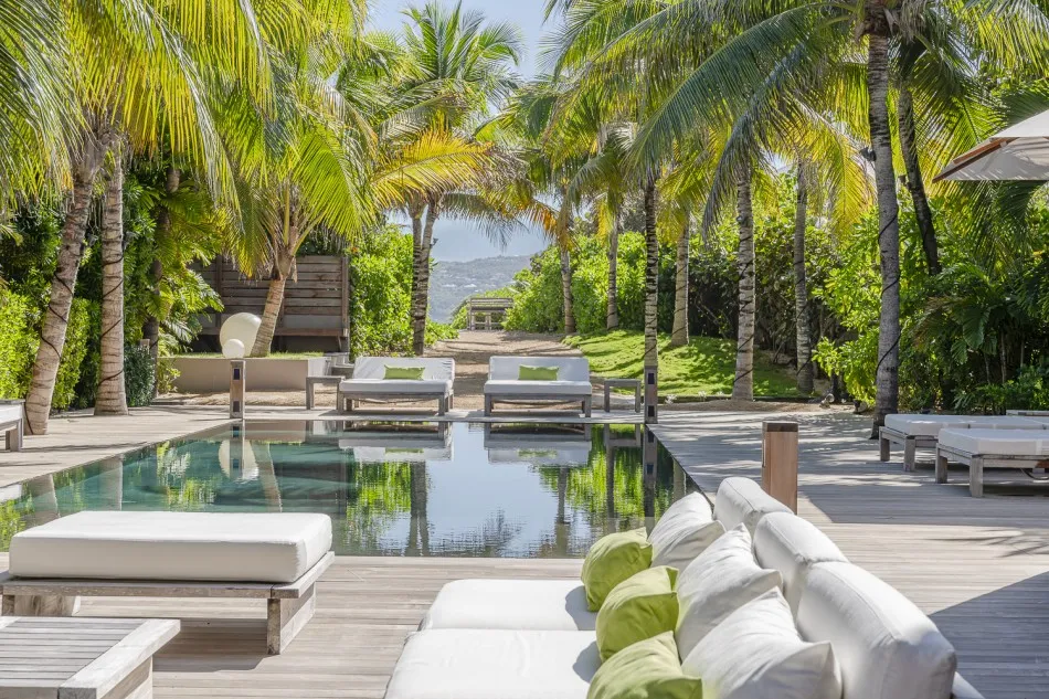
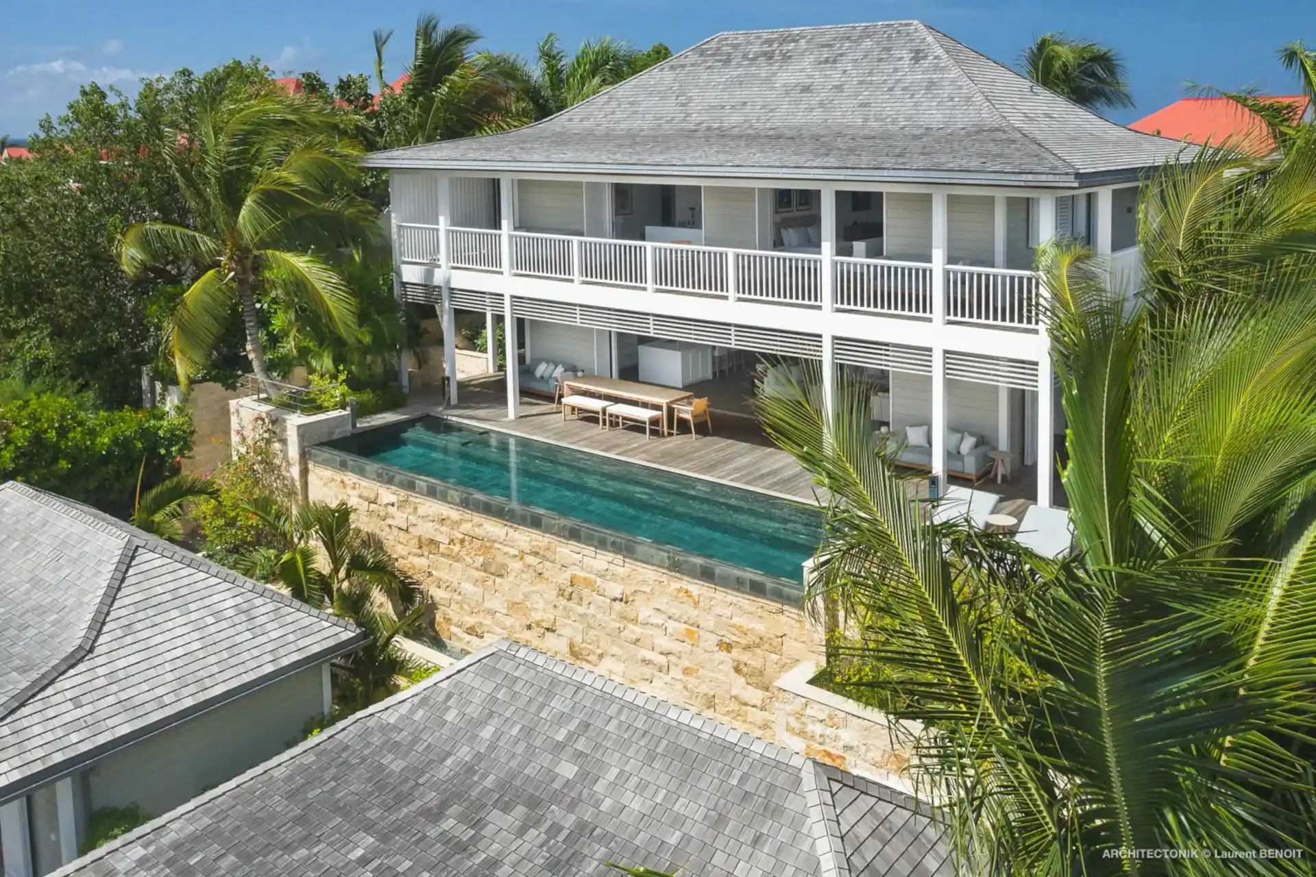
St Barts has no high-rise resorts and no casino strip. Accommodation is mostly private villas, many on hillsides with sea views, and a relatively small number of hotels. The island is known for its restaurants, from beach lunches to French fine dining, for its sailing events, and for a festive New Year’s period in Gustavia. Beaches are public; the tourism office’s beach guide names a dozen main ones, with smaller coves between them. A marine reserve, created in October 1996, protects more than 1,000 hectares of its waters.
The marine reserve and what it means for visitors
The Réserve Naturelle de Saint-Barthélemy, listed by Réserves Naturelles de France as created on 10 October 1996, protects about 1,200 hectares of sea in five zones: the islets off Gustavia, the waters around Fourchue, Frégate and Toc Vers, Colombier bay and a larger northern section including Petite Anse. The Agence Territoriale de l’Environnement’s regulatory-zones page, as published in September 2026, sets a 5-knot speed limit, bans jet skis, seabobs and towed sports, prohibits spearfishing and shell collecting, and limits mooring buoys at Colombier and Fourchue to vessels under 25 metres for at most 96 hours. Snorkelling is permitted, and Colombier is the beach most people reach on foot to do it; our guide to the beaches of St Barts describes the trail.
Getting there
The island’s airport has a very short runway that accepts only small aircraft, and flights operate in daylight. Most visitors fly to St Maarten and connect by a short flight or ferry. Our guide to getting to St Barts explains the options.
Getting around
Roads are narrow, steep and winding, and a rental car is the usual way to explore. Driving is on the right. Parking in Gustavia and St Jean can be tight in high season.
When to go
The busiest and most expensive period runs from mid-December to April, peaking over the holidays. Our guide to the best time to visit St Barts explains the seasons, and our guide to the beaches of St Barts helps you choose where to swim.
Planning a stay
What is St Barts, in one line? A small French island with many beaches, and knowing its layout makes every other choice simpler. Because villas make up much of the accommodation, location and view matter as much as the house itself.